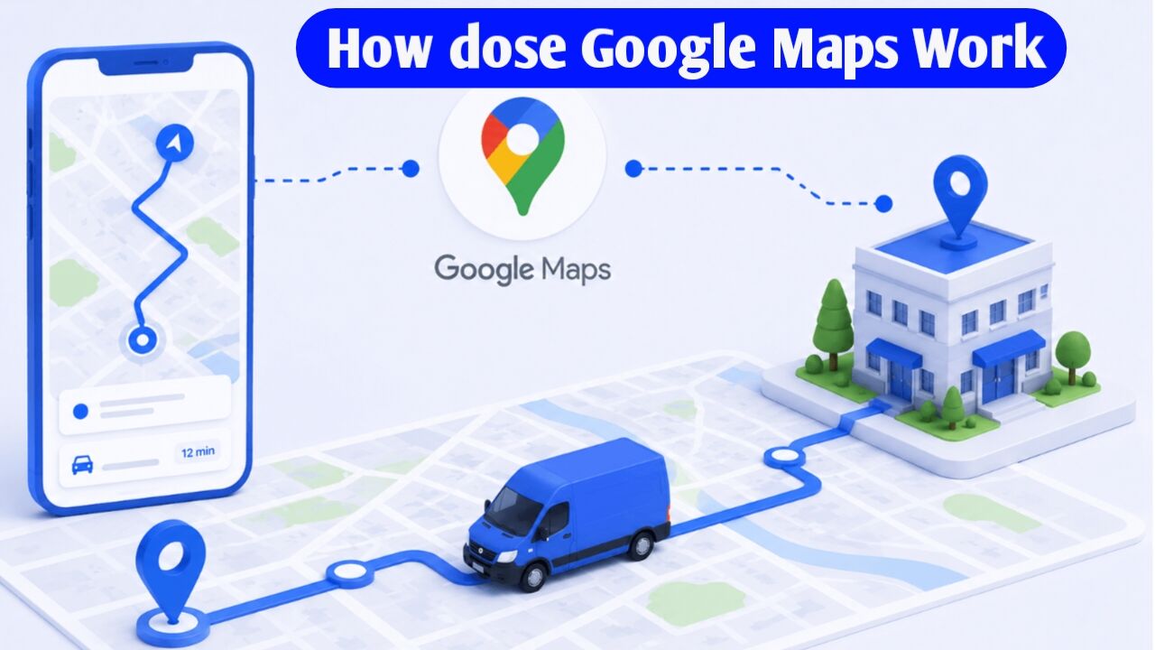
How does Google Maps work? The complete technology behind everything from the ‘Blue Dot’ to routes and traffic
Have you ever wondered how that ‘blue dot’ always shows your exact location? Think about those moments when you get lost in an unfamiliar city—feeling anxious, your heart racing—and then you pull out your phone, open Google Maps, and that blue dot tells you: “You are here.” It happens instantly, without error. But how does it work? How does the app know exactly where in the world you are standing? How does it map out those streets? How does it know where the traffic is near your home? How are routes calculated? Today, we’ll explore all of this, and I promise, you’ll never look at Google Maps the same way again.
Part 1: It started with a secret military project
In 2003, the US was at war in Iraq. At the time, a small company called Keyhole was developing software designed to pinpoint enemy locations using satellite imagery. It was funded by In-Q-Tel, the CIA’s secret investment arm. Their software, EarthViewer, was so powerful that CNN used it for live war coverage. For the first time, people were watching Earth on TV, zooming in from space. This wasn’t a game; it was real, and it completely blew people’s minds. Google acquired Keyhole in 2004, and Google Maps launched in 2005. But the app faced a massive challenge: where would the data for the entire world come from? Every street, every turn, every building—this wasn’t a job for a single person. It required a massive machine—a system—to get it done.
Part 2: The machine that scans the entire world
Imagine you had to map the entire Earth—where would you start? Google gathered data from four sources. First, high-resolution satellite imagery. Second, aerial photography captured by planes and drones. Third, government and postal databases, such as road maps and PIN codes. But even the combination of these three wasn’t enough. You can view things from above via satellite, but you can’t read the name on a street sign. That’s what led to a fourth, crazy idea: Street View. In 2006, engineer Luc Vincent built a camera setup in a Stanford parking lot. They mounted nine cameras on the roof of a car, added GPS, and hit the streets. Everything was being recorded in 360 degrees. People watched and wondered—what kind of madness is this? Yet, that very “madness” has now covered 10 million miles of photography across more than 100 countries. Today, Street View cars carry more than just cameras; they are equipped with LiDAR sensors that use laser beams to capture data on everything.
Part 3: Map Tiles — How does the map load on your screen
Here’s a big question: when you open Google Maps, how does the entire world fit onto a small screen? The answer is—it doesn’t. Google created a smart system known as the Map Tiles System. Think of it this way: imagine you have a massive painting of the entire world. If you tried to load the whole thing onto your screen at once, your phone would crash.
So, what did Google do
They broke that painting down into tiny 256 × 256 pixel squares. Each square is called a “tile.” When you open the map, only the tiles visible on your screen load. As you scroll, new tiles appear. When you zoom in, tiles with greater detail load. At zoom level 0, the entire Earth is contained in a single tile. At zoom level 20, a single building might span multiple tiles. At each level, the number of tiles quadruples.
But there was another problem: the Earth is round, while the screen is flat. How do you represent a round object on a flat surface?
Google uses the Mercator Projection for this. It is a 400-year-old mathematical technique. This is why Greenland appears massive on the map, even though it is actually much smaller than Africa. While this creates some distortion, it remains the most practical method for navigation. To deliver map tiles quickly, a CDN (Content Delivery Network) is used. Tiles are cached on Google servers across the globe, and data is fetched from the server closest to you. That is why the map loads instantly.
Part 4: Routing Algorithms — The Brain Behind the Route
This is the most fascinating technical aspect of Google Maps. Pay close attention, as this concept forms a cornerstone of computer science. Google Maps views the entire road network as a giant graph. Let’s consider an example: Delhi has thousands of intersections. Each intersection acts as a ‘node,’ and every road connecting two intersections is an ‘edge.’ Each edge carries a ‘weight’ representing the time required to traverse that road. Suppose you want to travel from Connaught Place to Chandni Chowk; Maps needs to find the path with the lowest total weight. To achieve this, it employs Dijkstra’s Algorithm, originally created by Edsger Dijkstra in 1956.
Here is how the algorithm works
Start at the initial node and examine all neighboring nodes. Move to the node with the lowest cost, then evaluate the subsequent nodes. This process continues until the destination is reached. However, there is a challenge: there are billions of nodes worldwide, and a standard Dijkstra implementation becomes extremely slow on such a massive graph. The solution lies in ‘Contraction Hierarchies.’ Imagine traveling from Mumbai to Delhi; Maps doesn’t need to check every small side street. Instead, it utilizes pre-calculated shortcuts involving major highways—much like how you would take a highway for the bulk of a long-distance trip and only use smaller streets at the very beginning and end. This efficiency allows the route from Mumbai to Delhi to load in less than a second. Part 5: Real-Time Traffic — You Are the Sensor
Here is a fact about Google’s massive sensor network that might surprise you: Maps knows about real-time traffic because *you* are the one sending the data. Whenever your phone has Maps open and location services active in the background, your speed, direction, and location can be transmitted to Google’s servers. Two billion users collectively send this data. Google might observe 1,000 phones moving at 10 km/h on NH-48; this indicates a traffic jam. This is crowdsourcing. However, live data alone isn’t enough. Google possesses 20 years of historical traffic data. Graph Neural Networks, developed in collaboration with DeepMind, analyze factors like the day (e.g., Monday), the time (e.g., 6:00 PM), and weather conditions (e.g., rain). By matching these against historical patterns, the system calculates the ETA. Live Data + Historical Patterns = the orange and red colors you see on your screen.
Part 6: Your Blue Dot — The Real Engineering Behind GPS
Now, about that blue dot. Your phone determines your location using three distinct technologies:
1. GPS
A phone receives signals from over 30 satellites in space and calculates its position using trilateration—meaning it determines the exact location based on the time signals arrive from three satellites. However, signals can be weak indoors or in densely built-up cities.
2. Cell Tower
Approximate location is determined by the signal strength of nearby towers. It is less accurate than GPS but much faster.
3. Wi-Fi Positioning
Google has mapped the locations of Wi-Fi networks worldwide. The Wi-Fi networks visible to your device help further narrow down your location. Combining these three methods yields a precise location. A map-matching algorithm then snaps that location to the nearest road; this is why the blue dot always appears on the road and never drifts off it.
Part 7: Google Maps and Gemini AI in 2026
Gemini AI has revolutionized Google Maps. It is no longer just an app for finding routes. In 2025, Google integrated Gemini AI into Maps, completely transforming the user experience.
You can now actually converse with the map—asking, for instance, “Find me a quiet café where I can sit and work.” Maps provides context-aware, personalized responses. Immersive Navigation offers landmark-based directions, such as “Turn left after the red building ahead.” This isn’t the language of GPS coordinates; it’s the way a friend would speak. Satellite data, Street View images, and AI combine to create a live 3D replica of the real world, which comes to life on your screen. This system operates continuously, every second: map tiles are stored in BigTable, Spanner keeps servers synchronized globally, and streaming pipelines process traffic data. Yet, amidst all this complex machinery, all you see is Google Maps.
Conclusion
Google Maps is not merely a simple app for showing directions. It relies on the combined functioning of various technologies, such as satellite data, Street View, map tiles, routing algorithms, real-time traffic data, GPS, cell towers, Wi-Fi positioning, and AI. The “blue dot” indicates our location, the routing system determines the correct path, and traffic data helps assess current road conditions. It is only through the integration of all these technologies that Google Maps can so rapidly display a map of the entire world and provide accurate directions on our screens.

I am the founder and content creator of SuperJankari.com, a technology-focused website dedicated to sharing useful information about smartphones, laptops, gadgets, apps, software, and the latest technology updates. My goal is to make technology easy to understand by providing clear, practical, and informative content for readers.